Golf Course Mapping Services

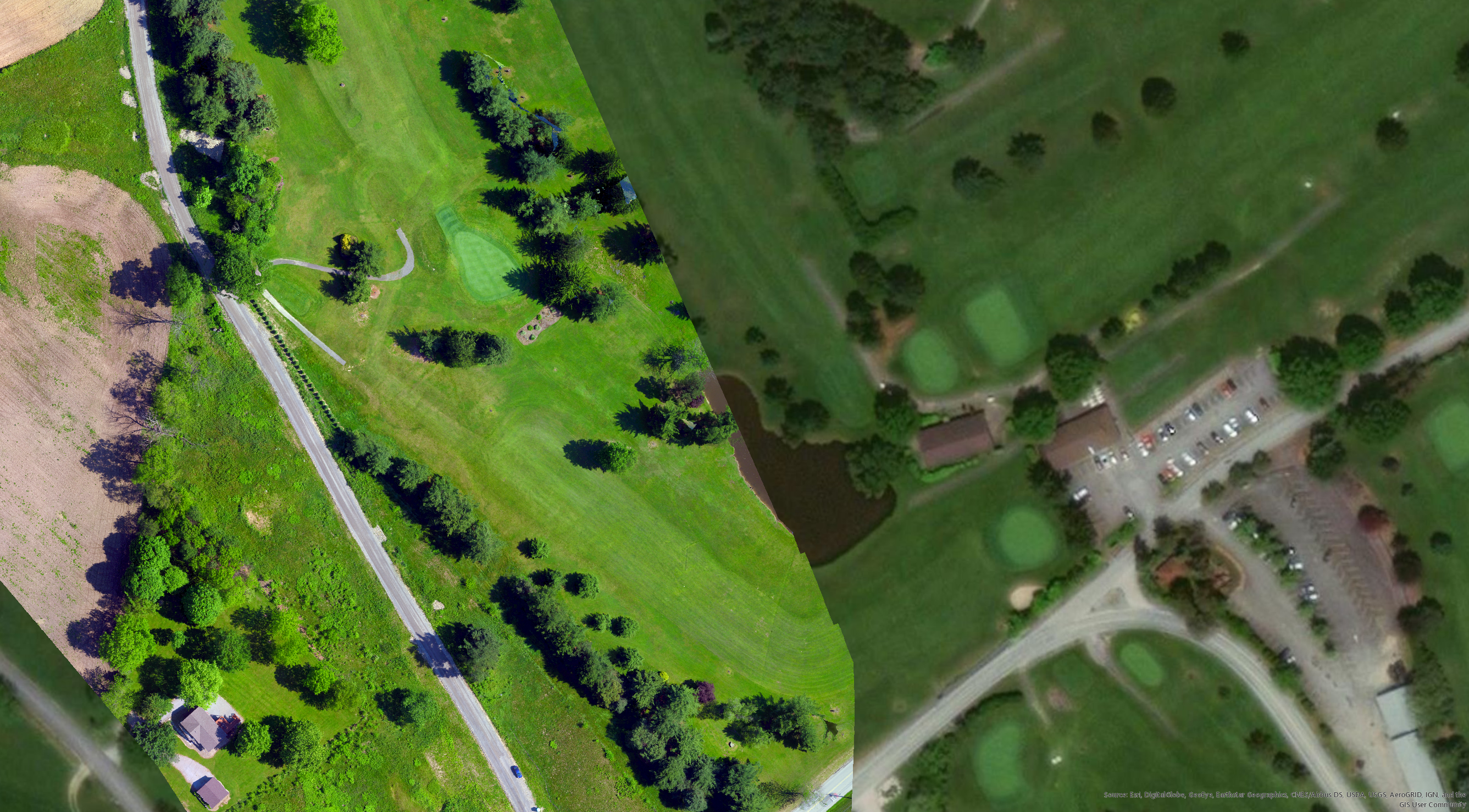
High Resolution Imagery
Stand out from your competition by using high resolution mapping imagery captured via drone.
Set your club apart from the others that are using free web-based satellite imagery. Their results are less than appealing and lack the class your course is trying to portray.
Our packages include high gloss, large format prints that can be displayed in the club house or pro-shop.

Vegetation Management
Effective and efficient management of vegetation and water is vital to course success. We provide grounds crews with the tools to maximize resources with our analysis techniques.
Rock Run analyzes the drone captured imagery for plant health, invasive species, and irrigation use. This allows the crew to better utilize water and fertilizer in targeted areas which helps save money.

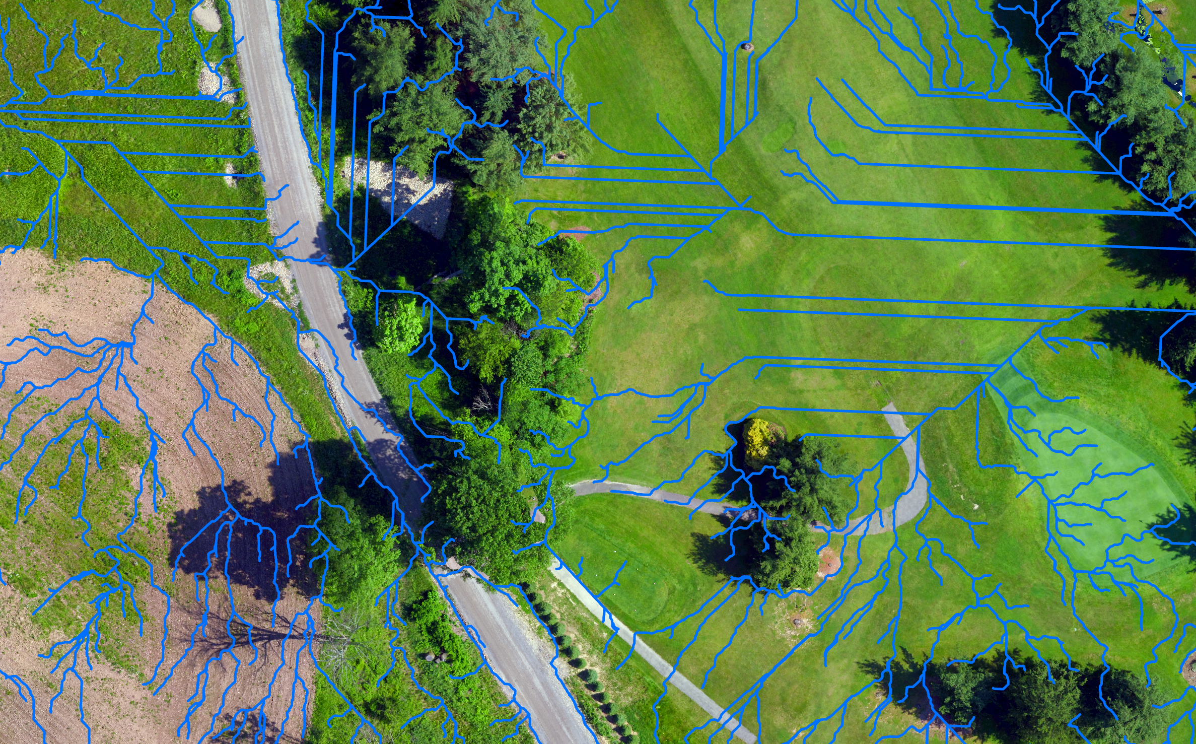
Watershed Development
Using drone generated elevation files, we can develop local watersheds and predict where irrigation or rainwater will flow. This can allow course managers plan for stormwater, allocate resources, or trace the source trouble areas. The benefits can reduce course degradation from cart usage in times of high seasonal rainfall.

Interactive 3D Modeling
Why stop with 2D maps? We create 3D models that can be used right on your own website or as a standalone. The members or the general public can interact with the course in 3D with information about hole yardage, elevation, par, etc.

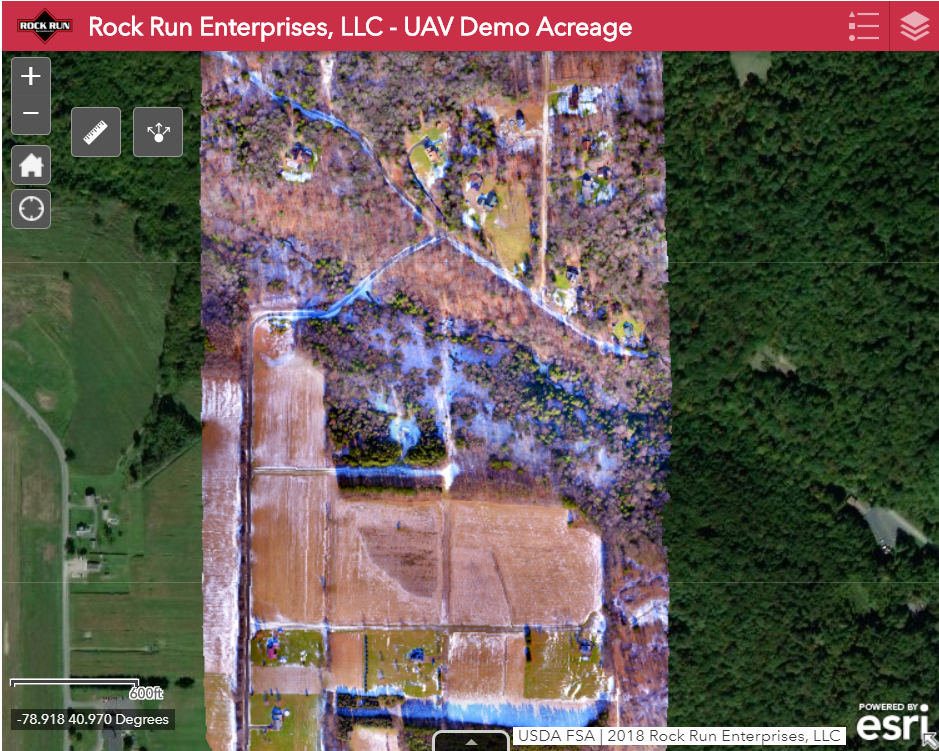
Custom Web Maps
After flying your golf course, we can create a custom tailored web-map. Golfers are able to position themselves directly on the course during play. Hole information is available with popups showing all relevant information.

GIS Market Analysis
Utilize our resources for market and demographics analysis. By studying your potential client demographics, you can target specific markets for advertising purposes and track your returns. We can work with you to create a custom GIS mapping plan to suit your needs.
Experience
Our drone pilot has 7 years of FAA licensed flight time. Our GIS mapping skills encompass 20 years in different industries.
Professional
When working with a client, we are honest and discrete. Our clients’ privacy is top priority.
Responsive
We react quickly to client demands. Once a job is requested, we respond quickly and provide a clear scope of work.
We are FAA certified. We have been flying for large and small clients alike. One of our core services is GIS mapping. We combine these skills with industry leading enterprise hardware and software packages to deliver clients a unmatched product.
We have the experience to respond directly to customer’s needs in a timely manner. We can suggest a personally catered package for the scope of work involved.